
Waco Neighbors by Block Records
For Waco neighbors, start with the geography rather than a name. The City of Waco map establishes the target parcel and its touching parcels. McLennan CAD then supplies the appraisal record tied to an identifier, legal description, and property address. The County Clerk's official-record index can confirm a recorded party's role in a deed or related instrument. Each source answers a narrow question. A property owner is not automatically the person at the address, and a mapped neighborhood is not proof that an association is active.
| Block source | Question it can answer nearby | Access route |
|---|---|---|
| Waco GIS MapServer | Parcels, addresses, neighborhood, city-limit, ZIP, and jurisdiction layers | Online identify, query, and export functions |
| McLennan CAD eSearch | Recorded appraisal owner, situs and mailing fields, Geographic ID, legal description, and tax year | Public property search |
| County Clerk Official Public Records | Recorded grantee, grantor, document date, instrument, and land-description context | Electronic records from 1996 forward; older books in office |
| VoteTexas status lookup | An individual voter's status and polling information when statutory inputs are supplied | Name, county, date of birth, and ZIP |
| Neighborhood Engagement directory | Public association profile, boundary context, contacts, and meeting patterns | City directory and association pages |
Use the table as a source map, not as a roster. CAD may display a mailing address that differs from the parcel's situs, and the appraisal file does not establish daily presence. A recorded deed proves a conveyance or other recorded interest, not a family relationship or current occupancy. For old names along an entire street, the distinct address trail belongs in the Waco street directory.
Note: Keep the parcel identifier, legal description, source link, and access date with each block observation so a later check can reproduce it.
Waco Neighbors on the GIS
The City of Waco GIS MapServer is the spatial starting point. Its public service lists parcel, address, subdivision, easement, zoning, flood, neighborhood, ZIP, city-limit, ETJ, council-district, school-district, police-reporting, and code-enforcement layers. Turn on parcel and address layers, locate the street, identify the target polygon, and then inspect the polygons that meet its edges. The service documents identify, query, and export functions. It does not document a public neighbor-roster button or a dedicated public radius tool.
That distinction matters around Waco blocks where a postal label, neighborhood layer, and city-limit line can diverge. The map can establish spatial context. It cannot identify a household, confirm a mailing address, or establish ownership. Save a GIS parcel clue, then confirm ownership and legal-description details in McLennan CAD eSearch and, when needed, the County Clerk record.
View the official Waco GIS service before following the parcel steps.
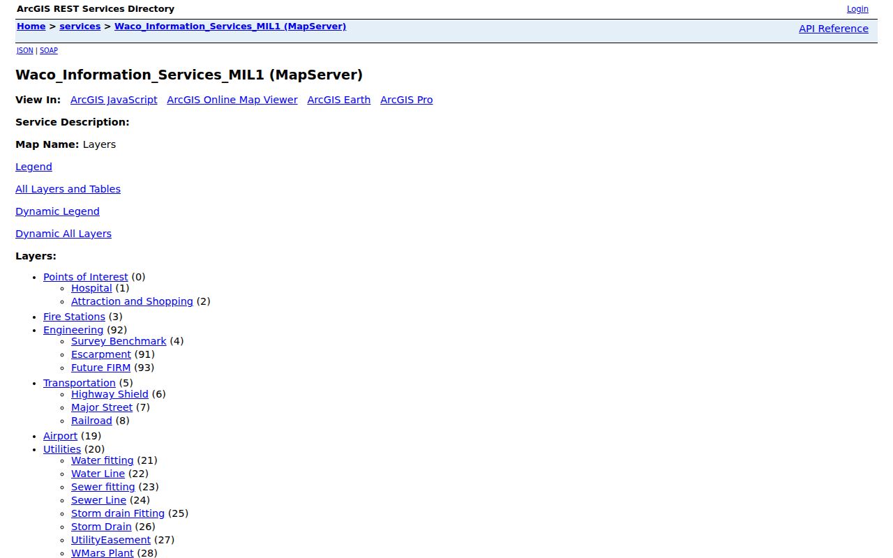
The captured service list shows why one address can be checked against parcels, neighborhoods, ZIPs, and city limits without treating any one layer as a resident list.
Waco Neighborhood Layers Are Not Rosters
Waco's map layers answer several useful civic questions: whether an address lies within the city polygon, which named neighborhood is mapped, and which parcel surrounds a point. The City My Area service can also return neighborhood, service, and council information from an address. A neighborhood polygon and an association's current status are separate facts. Check the live City directory or profile for association information instead of inferring that every mapped area has a current group.
This is a local records quirk with a practical result. The city's 2020 planning inventory marked some profiles as inactive, while the 2025 annual report stated that 19 neighborhood associations were active. Treat that count as a dated civic metric, not a census of Waco neighbors. The live association page is the safer place to obtain a public contact or meeting pattern.
Note: A parcel boundary can support a map question, but it cannot show a private membership list or prove a relationship between adjoining owners.
Map Waco Neighbors Parcel by Parcel
Use a small, repeatable chain for the immediate block. First normalize the street number, directional, street name, suffix, unit, and ZIP. The goal is to preserve what was searched, not to force a historical spelling into a modern one. Then separate the physical situs address from a tax mailing address. A mailing field may help explain where notices go, but it does not establish where an owner lives.
- Locate the normalized address in Waco GIS and identify the target parcel.
- Click each touching parcel, or pan along the immediate block, and record its Geographic ID, lot or subdivision detail, and legal description.
- Search each identifier or address in McLennan CAD. Retain the owner field, situs, mailing field, tax year, and legal description as separate data points.
- Use the County Clerk Official Public Records index to check recorded grantee, grantor, instrument, and document context when the parcel needs confirmation.
- Stop at the role the record supports. Shared borders do not show a common household, personal connection, or current occupant.
In compact form, the process is address to GIS parcel to CAD identifier to recorded instrument. The County Clerk says electronic official-public-record access begins January 1, 1996, while records from 1849 through 1995 remain in office books. If a block question reaches an older conveyance, use the office-workstation or book route rather than assuming a missing web result ends the trail.
Waco Neighborhood Association Contacts
For community context, use the City of Waco Neighborhood Engagement directory and individual profiles. The city directory identifies or maps groups including Alta Vista, Austin Avenue, Baylor, Brook Oaks, Brookview, Cameron Park, Carver, Cedar Ridge, Downtown, Kendrick, Landon Branch, North East Riverside, Sanger Heights, and University. These resources can supply public contacts, boundaries, planning-notice information, and meeting patterns. They are not a route to member lists.
| Local association route | Public information to use | Important limit |
|---|---|---|
| City Neighborhood Engagement | Association directory, maps, resource materials, and public city contact | Association status can change, so check the live profile |
| Austin Avenue profile | Historic-neighborhood context, map, quarterly meeting pattern, and public association contact | It does not publish a block membership roster |
| Mountainview profile | Current meeting pattern, open membership statement, and listed dues | An older planning inventory should not override the current profile |
The Neighborhood Engagement page is the appropriate city entry point for public association resources.
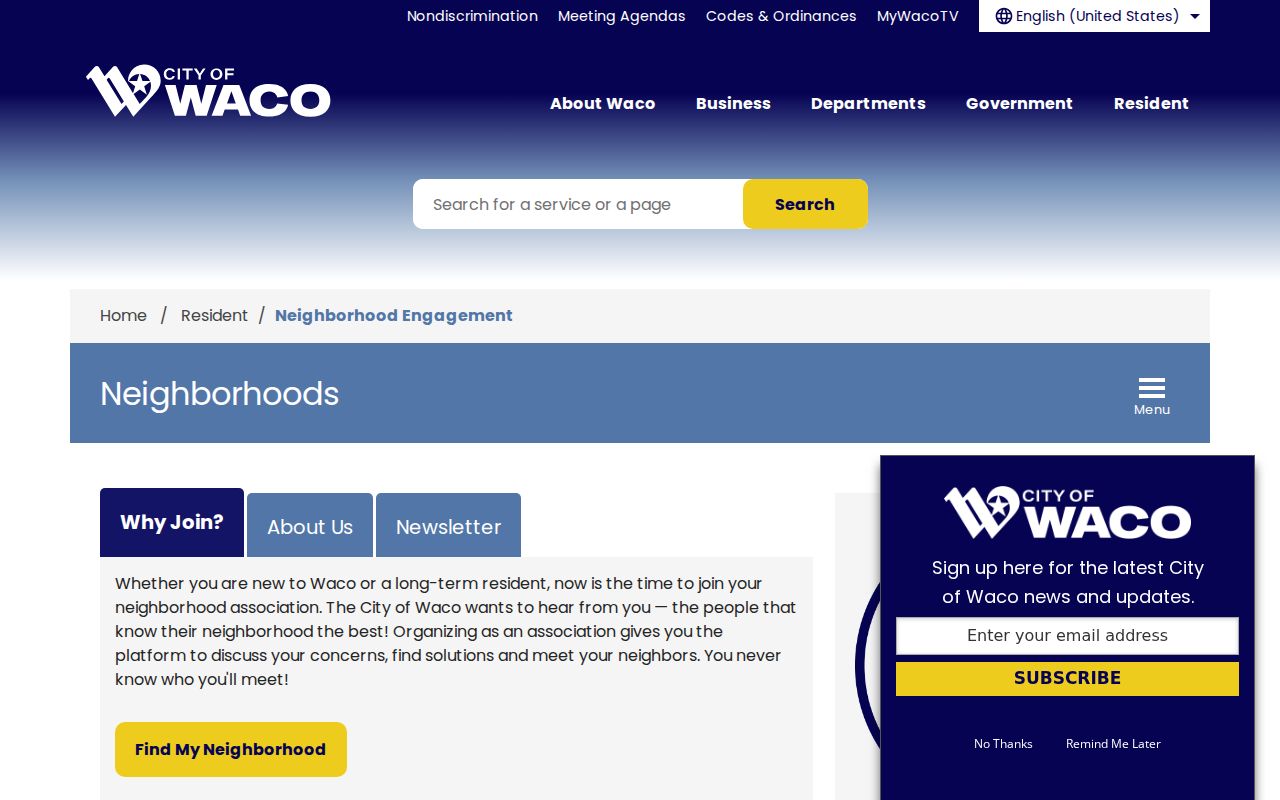
The city resource page offers a civic layer around a block: association materials, contact routes, maps, and planning support rather than household data.
For a concrete historic-district example, review the Austin Avenue Association profile.
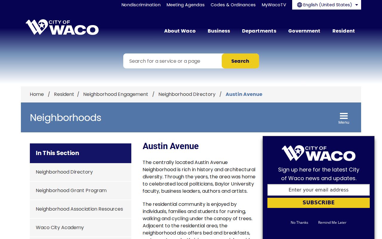
The Austin Avenue profile describes 25-plus historic homes in the Castle Heights context and quarterly meetings at St. Alban's, while keeping the focus on public association contact rather than private membership.
Waco Neighbor Sources Compared
Official records and commercial neighbor tools are not interchangeable. A commercial category may combine property, marketing, address, and public-record data, but its matching process and refresh schedule are not the County Clerk's or city's. It may duplicate same names, omit protected people, or blend dated records. For a Waco block question, use the original custodian for the limited fact needed, then retain the source and date.
| Source category | Strength for a Waco block question | Limit to remember |
|---|---|---|
| Official GIS, CAD, and County Clerk records | Direct parcel geometry, appraisal fields, and recorded-document roles | They do not form a current household census |
| City association profiles | Public civic contact and neighborhood context | They are not membership rolls and may need a current-status check |
| Commercial neighbor-search category | May provide a starting lead | Not authoritative, potentially stale, and not proof of identity or residence |
Waco Neighbors and Voter Data Limits
Texas does not offer a public map that returns every registered voter on a Waco block. My Voter Portal is an individual status and polling lookup. It requires a name, county, date of birth, and ZIP. A result can show registration information, VUID, and polling information, but ballot choices are not public. It is not a way to compile a street roster.
The Secretary of State has a voter-registration public-information request process that can be narrowed to McLennan County and precinct or district fields. That process carries delivery, legal-use, and protected-address rules. Texas Election Code §13.004 protects Social Security, driver's-license, and DPS personal-ID information, and it protects residential data for eligible confidential-address participants. An absent search result does not establish that a nearby person is unregistered.
For local election administration questions, McLennan County Elections Administration is the custodian route. It publishes registration and election materials, not a public block list.
Privacy Boundaries for Waco Neighbors
Waco neighbors who are not recorded owners may have no public parcel trail at all. Utility-customer information is not a public household directory, and delivery data does not establish residence. A homestead indicator can be an owner-occupancy clue, but it can be stale and is not conclusive. Do not turn a tax mailing address, a PO box, a historical directory entry, or a shared parcel edge into a claim about a person's present location.
Texas also protects certain address information. The Attorney General's Address Confidentiality Program provides a substitute mailing route to qualifying survivors, and protected voter procedures apply to covered people under state law. A substitute address, asterisks, a missing residence field, or an alternate mailing address must not be reverse-engineered. The Texas Data Privacy and Security Act, HB 4, took effect July 1, 2024 for covered businesses, but it is not a deletion command for a county deed, court file, or voter-registration record.
Lawful use. Use Waco block records for legitimate personal research, civic curiosity, or reconnecting with care. Do not use records to watch, stalk, harass, intimidate, or harm anyone; Texas Penal Code §§42.07 and 42.072 address harassment and stalking.
Note: If an official record appears wrong, request a correction from the custodian and preserve the record identifier, source, and date instead of reposting sensitive details.